Identify and Tracking Forest Changes
Biomass and Carbon Assessments
Digital Forest Twin
Service Sectors
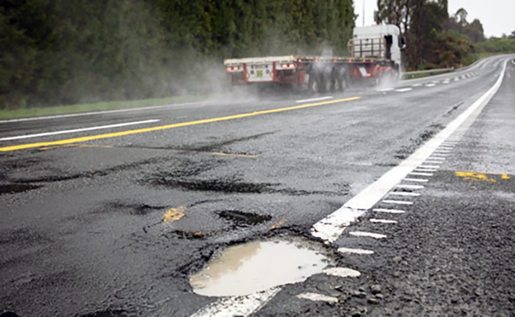
Infrastructure Safety
Infrastructure safety involves designing, maintaining, and monitoring structures like roads, bridges, buildings, and utilities to ensure durability, reliability, and protection against hazards.
Crop Monitoring
Crop monitoring is the process of tracking crop health, growth, and environmental conditions using technologies like remote sensing, drones, and IoT to optimize yield and detect issues early.
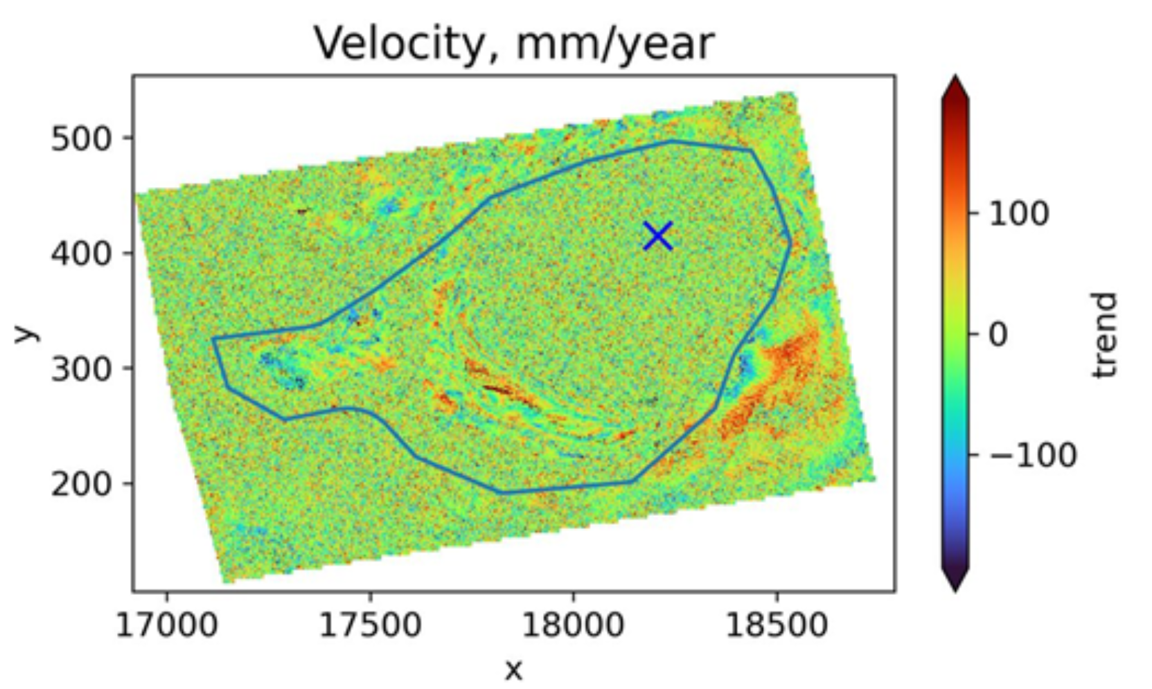
Geo Intelligence
Geo-intelligence is the analysis of geospatial data using technologies like GIS, remote sensing, and AI to support decision-making in security, defense, and environmental management.
Geospatial Analytics
Geospatial analytics is the use of geographic data, GIS, and AI to analyze spatial patterns, trends, and relationships for informed decision-making in various fields.
Forestry
Forestry is the science and practice of managing forests for conservation, resource production, and ecological balance.
Disaster Management
Disaster management is the process of preparing for, responding to, and recovering from natural or man-made disasters to minimize damage and ensure public safety.