We specialize in radar polarimetry, utilizing advanced polarization analysis to extract precise information from radar signals. Our expertise enables enhanced imaging, target classification, and material differentiation for applications in environmental monitoring, defense, and research. By leveraging cutting-edge technology, we deliver accurate and reliable remote sensing solutions.
Services
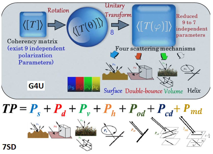
Radar Polarimetry
Dynamic Mapping
We create interactive maps that transform your geospatial data into visually stunning, user-friendly visualizations.
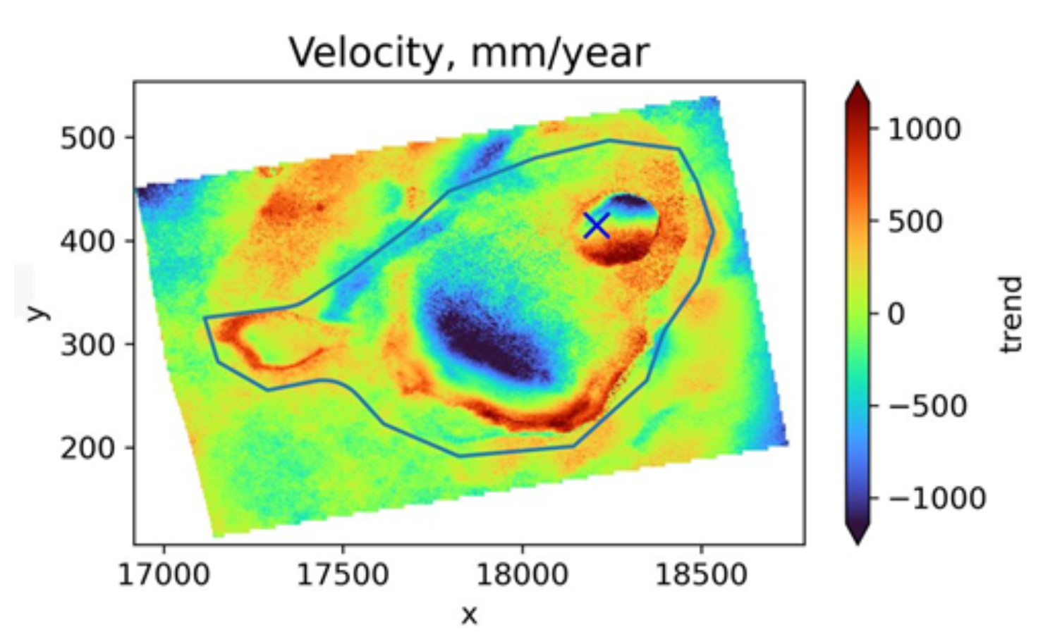
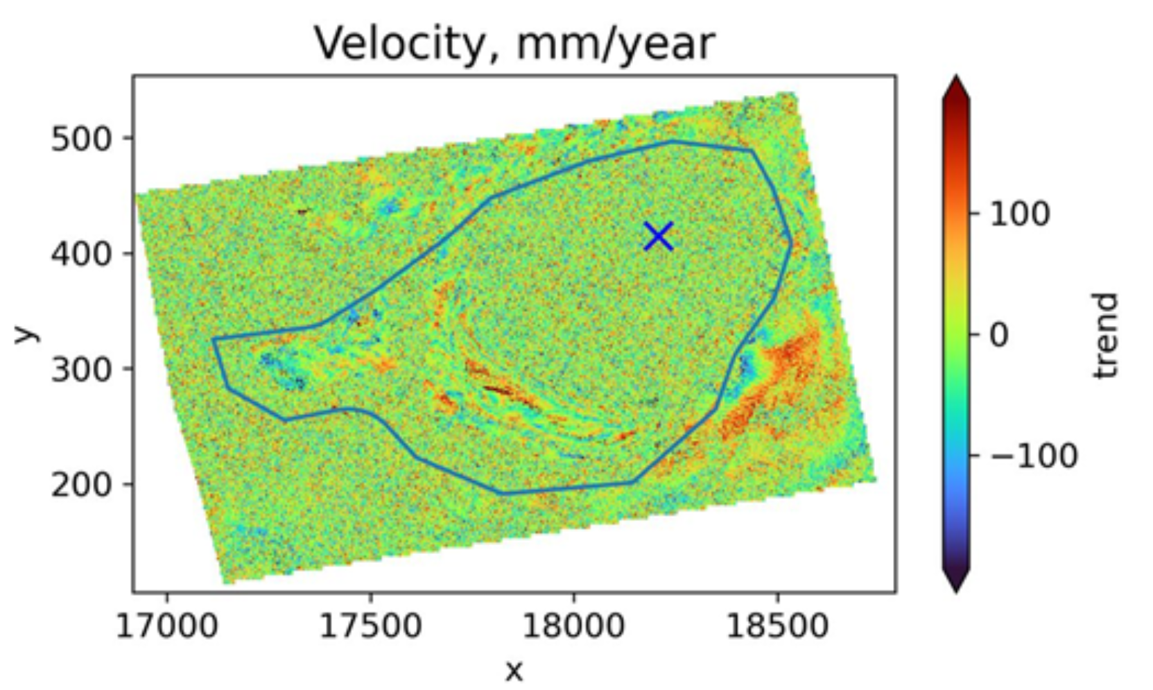
Spatial Analytics
Unlock insights with advanced spatial data analysis.
Applications of Optical and Microwave Remote Sensing
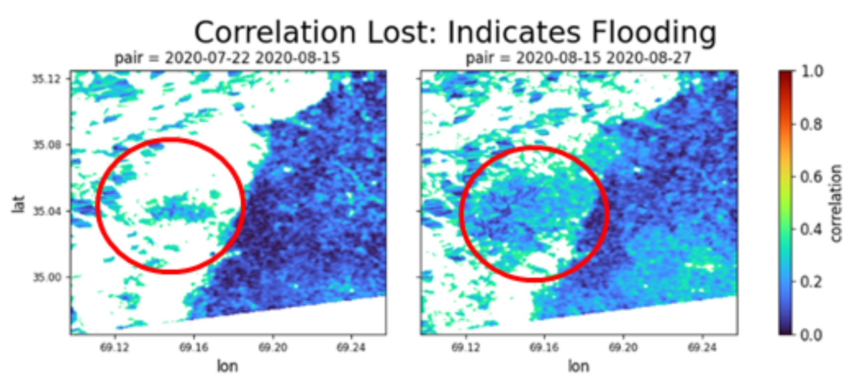
We deliver interactive flood mapping solutions, visualizing real-time inundation and risk zones for effective disaster management and planning.
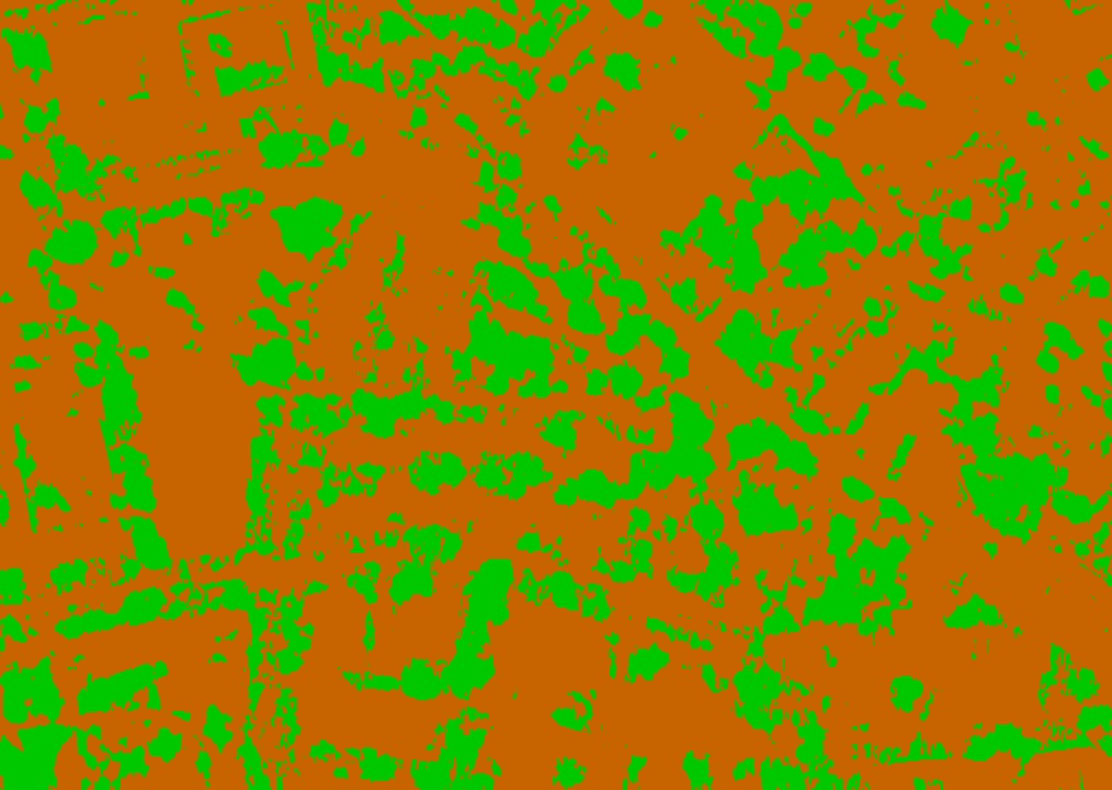
AI Driven Solution for Tree/Non-Tree Mapping
We offer precise tree and non-tree mapping solutions, enabling detailed vegetation analysis and land cover classification for ecological insights.
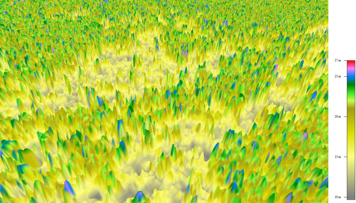
Forest and Carbon Credit Monitoring
Leveraging advanced forest monitoring technologies for accurate carbon credit assessment and verification services.