Crop Monitoring
Crop Monitoring
Harnessing the power of advanced satellite technology, our crop monitoring system provides real-time insights into agricultural fields. By utilizing high-resolution imagery, multispectral and hyperspectral analysis, and AI-driven data interpretation, farmers can track crop health, detect diseases, assess moisture levels, and optimize yield predictions with precision. This technology enables early intervention, reducing losses and enhancing sustainable farming practices. Stay ahead with satellite-powered agricultural intelligence for smarter, data-driven decisions.
Original Cityscape

Deformation Analysis using InSAR
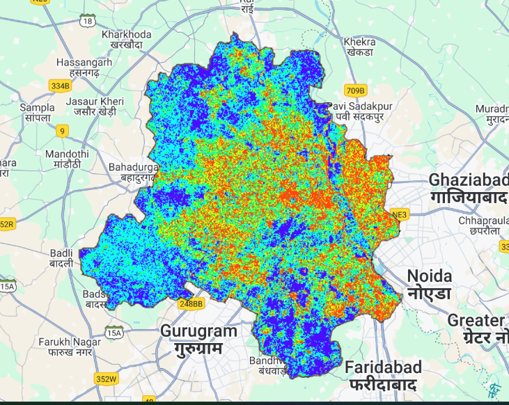
Damage analysis of crops
Our satellite-based crop damage analysis provides precise and timely assessments of agricultural losses due to extreme weather, pests, diseases, and other environmental factors. Using high-resolution imagery, remote sensing, and AI-powered analytics, we detect affected areas, quantify damage severity, and help farmers and policymakers take swift corrective actions. This technology enables proactive risk management, insurance claim verification, and sustainable recovery strategies, ensuring better resilience against agricultural uncertainties.
Soil loss Detection using SAR
Growth analysis of crop
Our company provides satellite-based crop growth analysis to help farmers and agribusinesses monitor vegetation health with precision. Using advanced remote sensing techniques, we analyze key indices like NDVI, EVI, and LAI to assess plant vigor, detect stress, and optimize resource use. Our AI-powered insights enable early detection of nutrient deficiencies, drought stress, and disease outbreaks, ensuring data-driven decisions for higher yields and sustainable farming.
Highway
Deformation Analysis using InSAR