Geo Inteligence
Geointelligence in defense
Geointelligence plays a crucial role in defense by providing real-time surveillance, threat detection, and strategic insights. Utilizing satellite imagery, InSAR technology, and AI-driven analytics, it enables monitoring of border movements, terrain changes, and potential security threats. Advanced remote sensing enhances situational awareness, supports mission planning, and ensures national security by delivering accurate intelligence for proactive defense strategies.
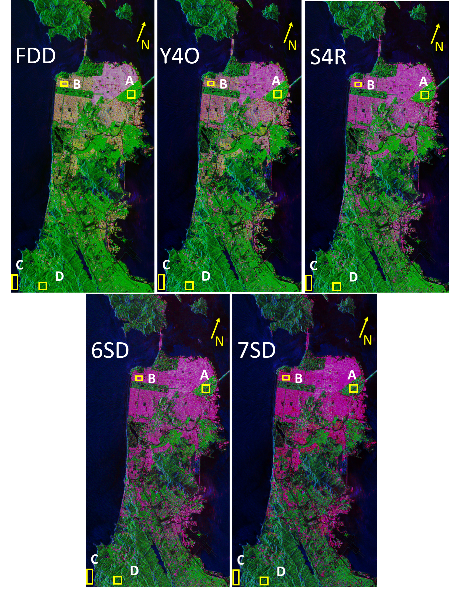
Radar Polarimetry using PolSAR

Post Strike Damage Assessment
Post-strike damage analysis using remote sensing enables rapid assessment of affected areas through satellite imagery and AI-driven analytics. It helps in disaster response, military assessments, and infrastructure recovery by providing accurate, real-time data for decision-making and resource allocation.
Deformation Analysis using InSAR

Geo Fencing
Geo-fencing is a location-based technology that creates virtual boundaries using GPS, RFID, or Wi-Fi. It enables automated actions like alerts, notifications, or access control when a device enters or exits a defined area, enhancing security, marketing, and operational efficiency.
Geo fencing of New-Delhi


